Aerial Intelligence for Smarter Solar Energy
Partner with Lisbon’s trusted aerial data provider. From creating digital twins for new solar installations to monitoring critical photovoltaic infrastructure without disruption, we deliver the insights needed to maximize energy yield and ensure long-term asset health.
Solar Panel Inspection Services providing Data for Performance Optimization, Maintenance Planning, and Energy Management.
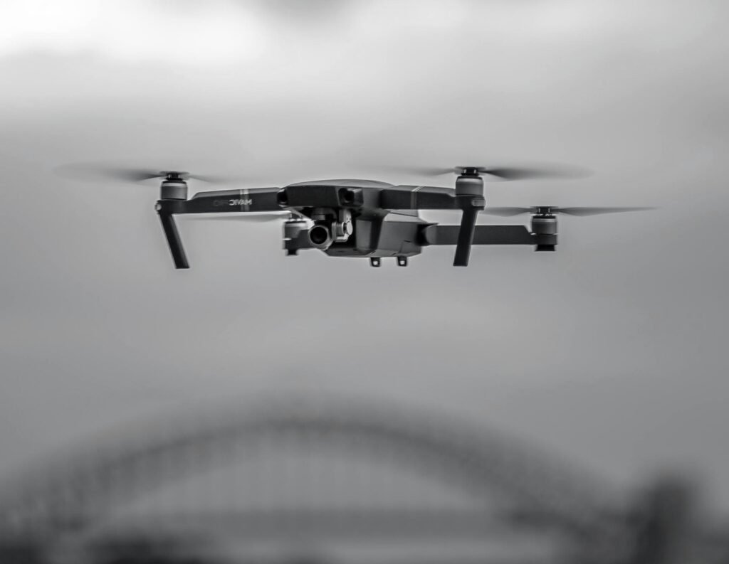
As solar energy evolves, accurate thermal and visual data is the foundation of effective maintenance. Traditional ground inspections are slow, risky, and limited. Our advanced drone photogrammetry and thermal imaging captures millions of data points in a single flight, providing the high-resolution, engineering-grade reality models required for modern solar farm management.
Our Solution for Solar Assets:
- High-Density 3D Mesh & Orthomosaics: We generate centimeter-accurate maps and textured 3D models of solar farms, rooftop arrays, and potential installation sites.
- Digital Twin Integration: Export-ready data in standard GIS/CAD formats (GeoTIFF, LAS, OBJ) that integrates seamlessly with asset management platforms and BIM workflows.
- Public Engagement Visuals: Move beyond flat plans. Use our compelling aerial visualizations to show stakeholders and investors exactly how new solar installations will perform and integrate with existing infrastructure.
- Aerial Photography & Videography: Capture stunning, high-resolution imagery and cinematic video footage of any solar project, from initial site surveys and construction progress monitoring to final asset marketing. Ideal for promotional materials, investor documentation, and time-lapse storytelling.
Why It Matters: Reduce inspection downtime, identify underperforming panels early, and improve transparency in asset performance reporting.
Benefit: Data-driven decision making to increase energy production and reduce operational costs.
Benefit: Enhanced worker safety and optimized resource deployment for O&M teams.
Benefit: Quantifiable metrics to meet environmental compliance goals and improve system efficiency.
Benefit: Early warning system for critical solar assets to prevent costly emergency repairs.
Ready to Integrate Aerial Intelligence?
Contact us for a technical scope of work and compliance documentation. Solar Inspection Services.
info@vanguardista.pt | Vanguardista Lda

Protecting Your Solar Investment from Above
The Challenge:
Inspecting solar farms, rooftop arrays, and energy infrastructure in a dense urban or remote environment is costly and disruptive. Production shutdowns and manual inspections slow down operations and create safety risks.
Our Aerial Inspection Service:
We provide comprehensive visual and thermal inspections of solar assets without ground intervention. Using high-zoom optical sensors and radiometric thermal cameras, we detect issues invisible from ground level while energy production continues uninterrupted.
Key Applications:
- Solar Panel & Array Inspections: Rapid assessment of hotspots, micro-cracks, soiling, and delamination on rooftop and ground-mounted systems.
- Mounting Structure & Tracker Analysis: Detect corrosion, loose fittings, and mechanical wear on tracking systems and fixed mounts.
- Electrical Infrastructure: Monitor inverters, combiner boxes, and wiring for thermal anomalies and potential failure points.
Compliance & Safety: All flights are conducted by ANAC-certified pilots under strict operational safety assessments, fully insured for urban and remote operations.
Real-Time Situational Awareness for Energy Assets
The Scenario:
From managing the output of a large solar farm to monitoring rooftop arrays across multiple sites, asset managers need eyes on every panel without the blind spots.
How We Support Solar Operations:
Performance Analysis: Our drones act as a temporary, elevated sensor network. We capture high-angle thermal and visual data to analyze panel efficiency, shading impacts, and soiling patterns.
Large-Scale Asset Monitoring: During critical production periods, we provide secure, live aerial feeds to operations centers. This enables proactive fault detection and faster maintenance response planning.
Post-Inspection Analysis: Orthophoto and thermal mapping of sites helps in planning maintenance logistics, optimizing cleaning schedules, and minimizing production downtime.
Data Privacy Assured: We operate under strict GDPR compliance, utilizing anonymized, top-down thermal pattern analysis rather than identifiable personal surveillance.

Solar Inspection Services Updates
In Lisbon, Portugal and beyond
Drones em Lisboa: Como a tecnologia está a transformar a Smart City
Com o aumento da procura por cidades mais inteligentes e sustentáveis, Lisboa tem-se afirmado como…

Drone or Plane? Choosing Your Mapping Platform
Drone vs. Manned Aircraft: Finding the Right Tool for Aerial Mapping In the world of…
Mapeamento aéreo: quando usar drone ou avião?
Drones vs. Aviões no Mapeamento Aéreo: Como Decidir? A evolução das tecnologias de sensoriamento remoto…
Drone Photos for Real Estate: The Types of Shots That Sell Property in Lisbon
Drone Photos for Real Estate: The Types of Shots That Sell Property in Lisbon In…

Surprising New Drone Job: How Indoor Inventory Swarms Are Quietly Transforming Warehouses
Surprising New Drone Job: How Indoor Inventory Swarms Are Quietly Transforming Warehouses Drones are usually…